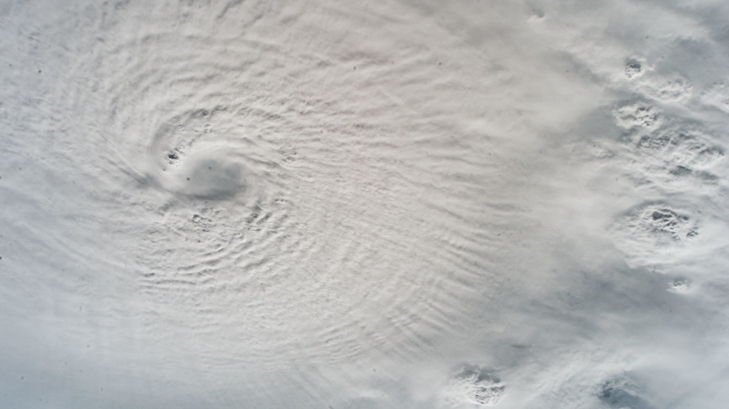
Hurricane Milton made landfall Wednesday night, in the midst of Florida and other Southeastern states still in the process of recovering from Category 4 Hurricane Helene.
Helene landed in Florida about two weeks ago and affected North and South Carolina, Georgia and Virginia. The hurricane started at Category 2 but quickly moved into Category 4 territory before landing. The current death toll is estimated to be over 230 people so far.
Milton made landfall Wednesday night and was one of the most intense hurricanes on record in the Gulf of Mexico according to the New York Times. It was also the quickest storm on record to intensify into a Category 5.
As Milton approached land, it brought threatening tornadoes that left damage throughout the entire state of Florida. After Milton touched ground in Florida, it killed at least a dozen people, including six in St. Lucie County.
Milton’s path left heavy flooding, damages and many without power in its wake. Tampa was hit especially hard and the roof of Tropicana Field, the home of the Tampa Bay Rays which was being used to house thousands of first responders, was ripped off by the storm.
Florida is not in the clear yet, even after back-to-back hurricanes. The New York Times suggests that hurricane season is not over quite yet and could last until December. Meteorologists suggest that these back–to–back hurricanes are reflective of a larger climate issue.
National Public Radio reports that 2023 saw unusually high water temperatures in the Atlantic Ocean and the Gulf of Mexico. The heat serves as energy for the storm. Another part of the issue is rising sea levels, which is a result of the melting of ice on land. This makes storm surges more dangerous.
These changes explain why the storms are so destructive, and why their impact is more widely felt, with storms hitting more inland than usual.


